
DFRS Live Map
Safety information in action
The DFRS Live Map provides a real-time view of safety-related traffic events shared through the DFRS ecosystem during the past 48 hours.
What it showsEvents across the network
By visualising information generated by vehicles, infrastructure and mobility service providers, the map demonstrates how collaborative data sharing can improve situational awareness and support safer roads across Europe.
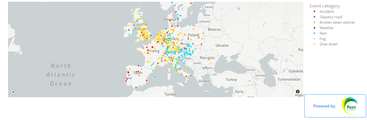
Not contractually binding real-time data — delayed by 48 hours for presentation purposes. Join DFRS for live data streams.